01 Sources
Read in full.
28
states in scope
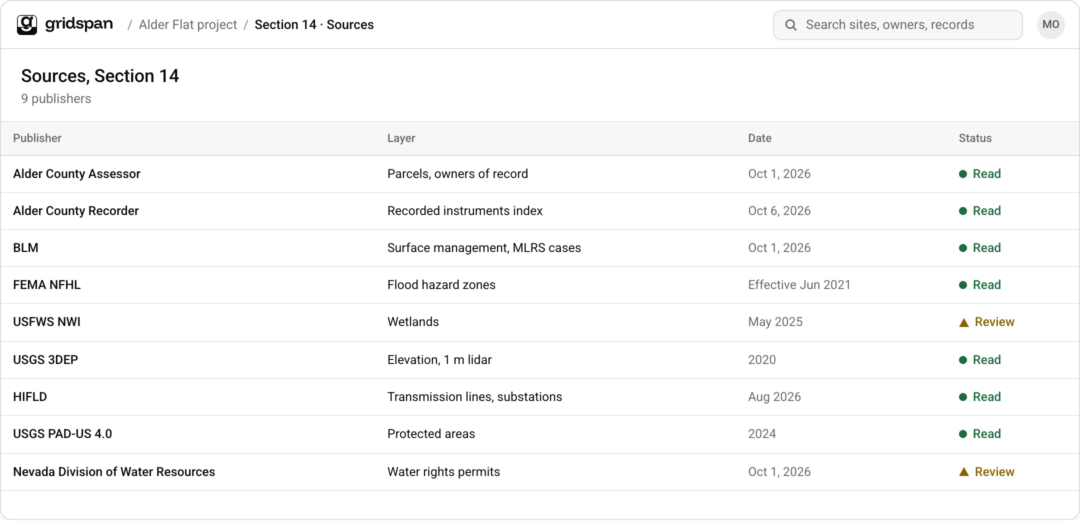
- 01County assessors and recordersOwners, parcels, instruments
- 02BLMSurface management, land status
- 03FEMA NFHLFlood hazard
- 04USFWS NWIWetlands
- 05USGS 3DEPElevation, slope
- 06HIFLDTransmission, substations
- 07USGS PAD-USProtected areas
- 08State engineersWater rights
- 09Texas and Oklahoma regulatorsOil and gas wells, leases