

Image credits
The ground from above.
Aerials: USDA NAIP orthoimagery from USGS The National Map, public domain. Homepage film, and the film stills used as page headers: generated with Midjourney and Seedance from original frames and USGS public-domain photographs; people in them are not real persons. Product screens show fictional example data.
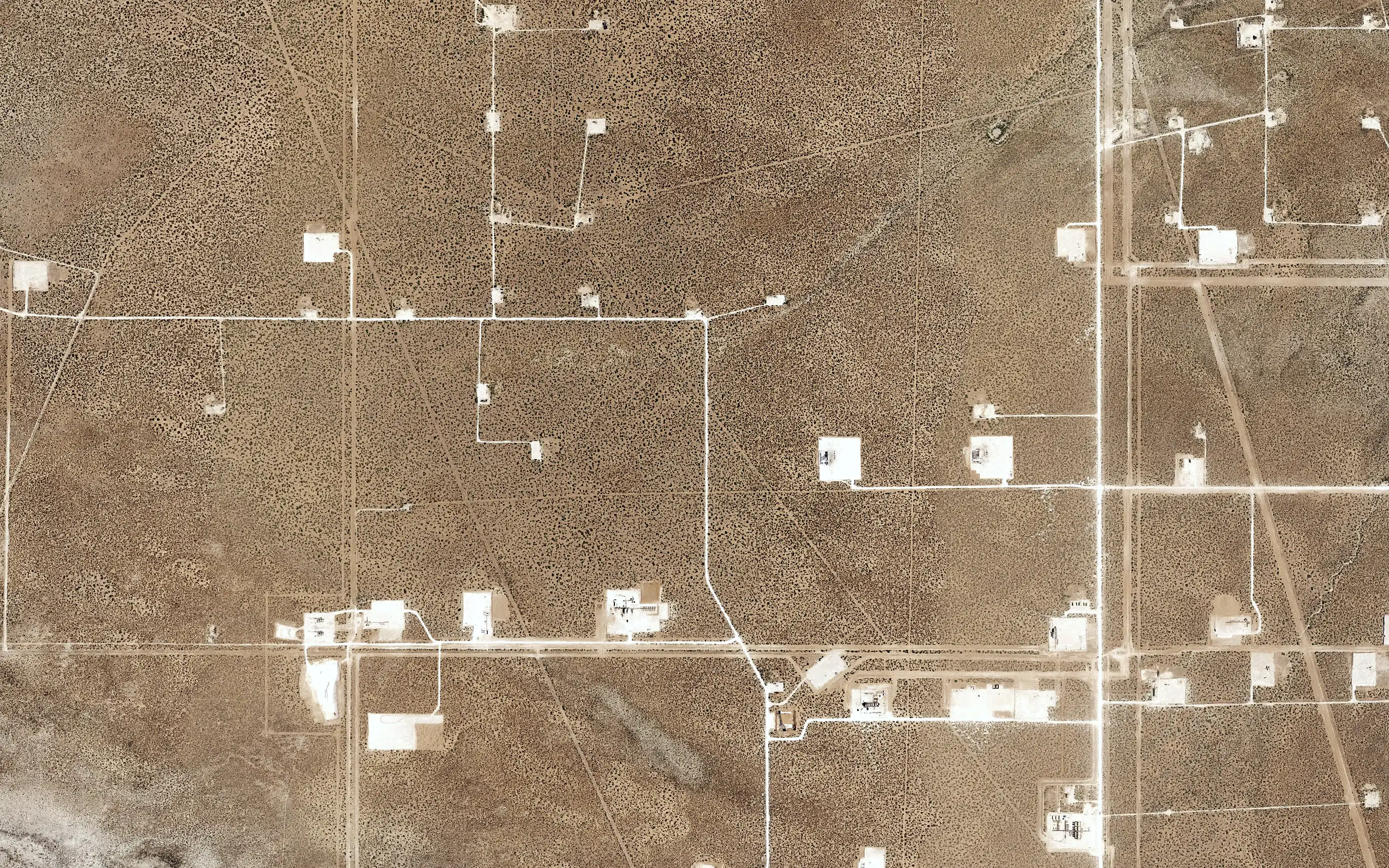 Well pads and roads on open range, Loving County, TexasNAIP orthoimagery, zoom 16
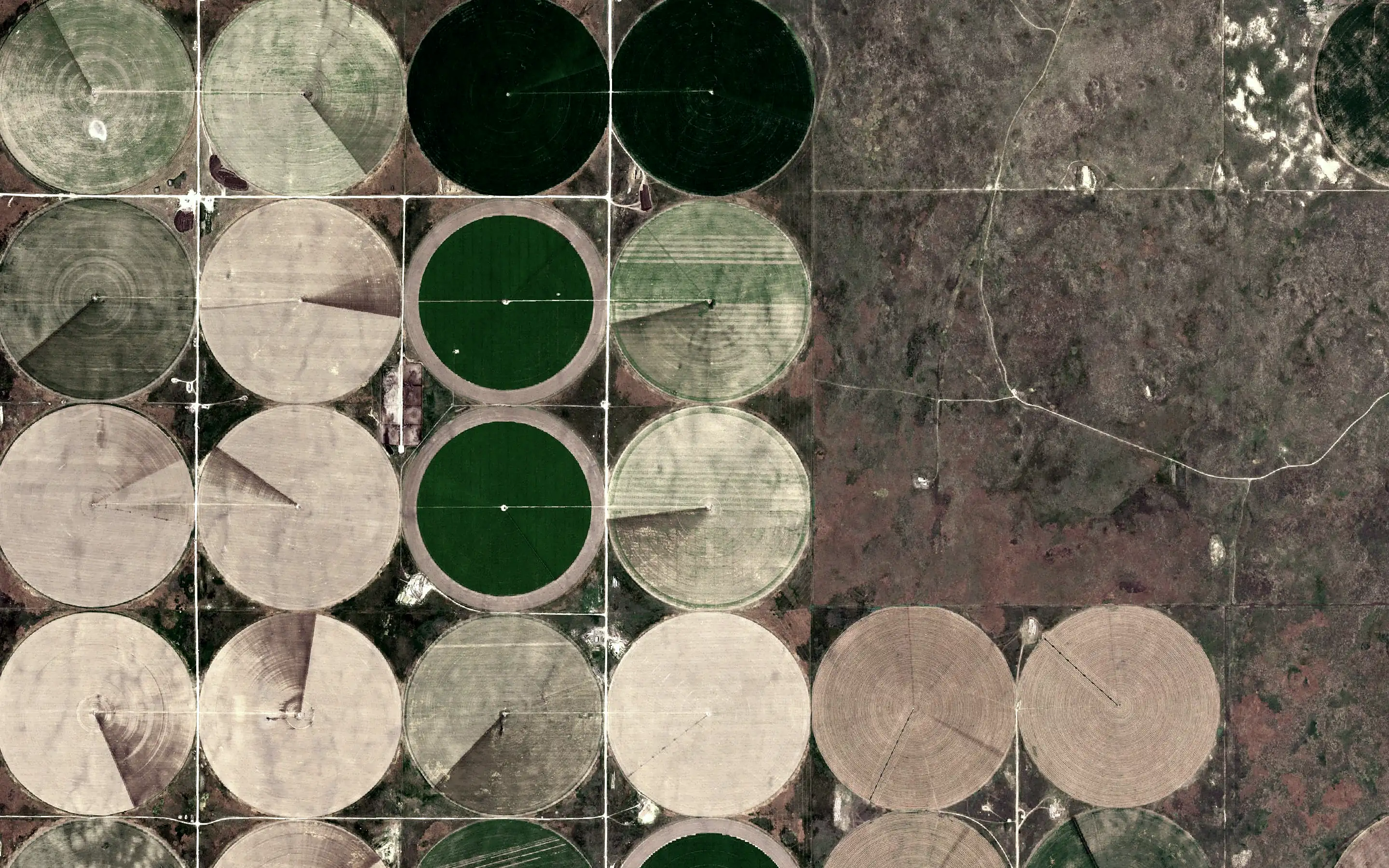 Center pivots on section lines, Finney County, KansasNAIP orthoimagery, zoom 16
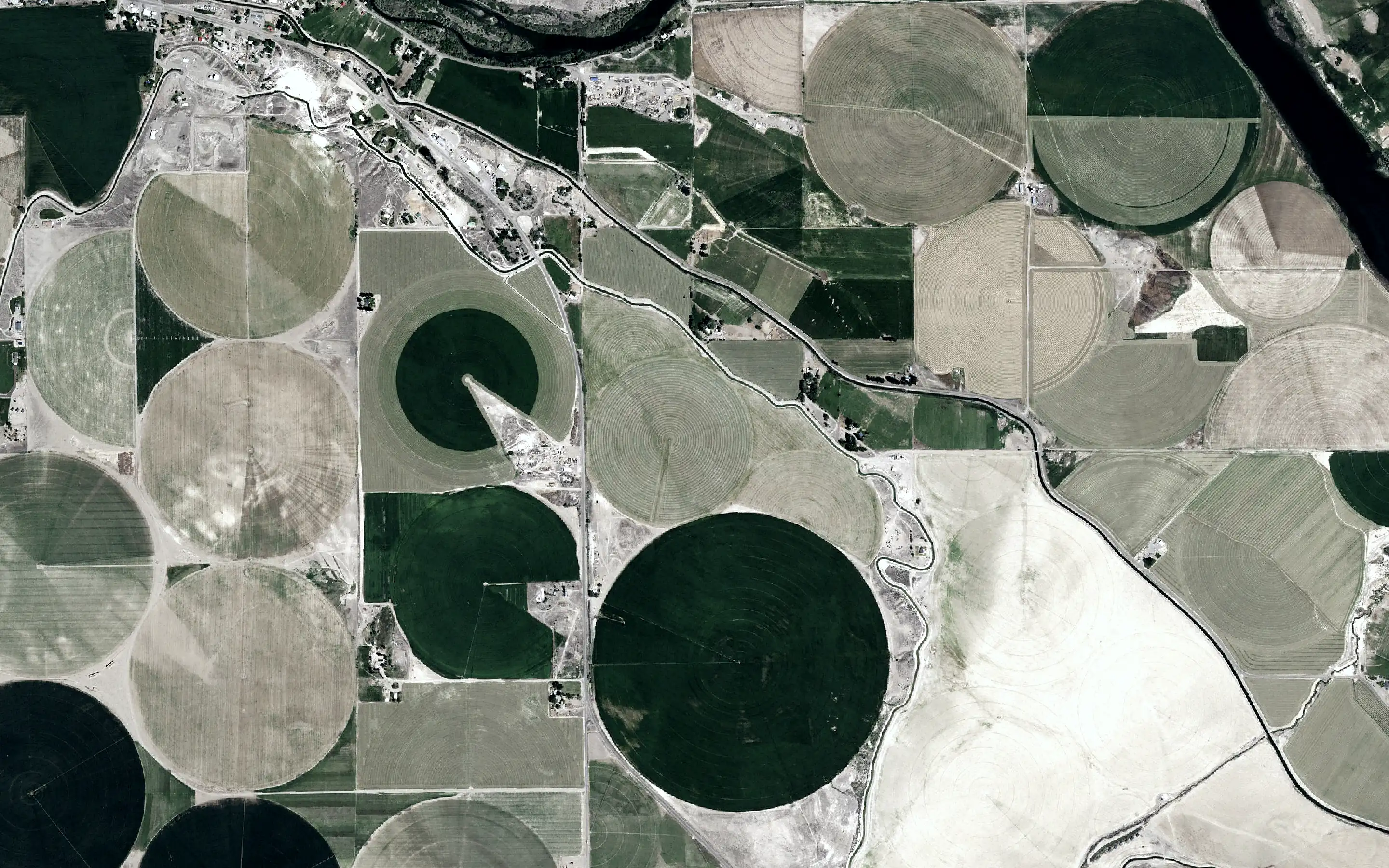 Pivots and fields along the Snake River, Owyhee County, IdahoNAIP orthoimagery, zoom 16
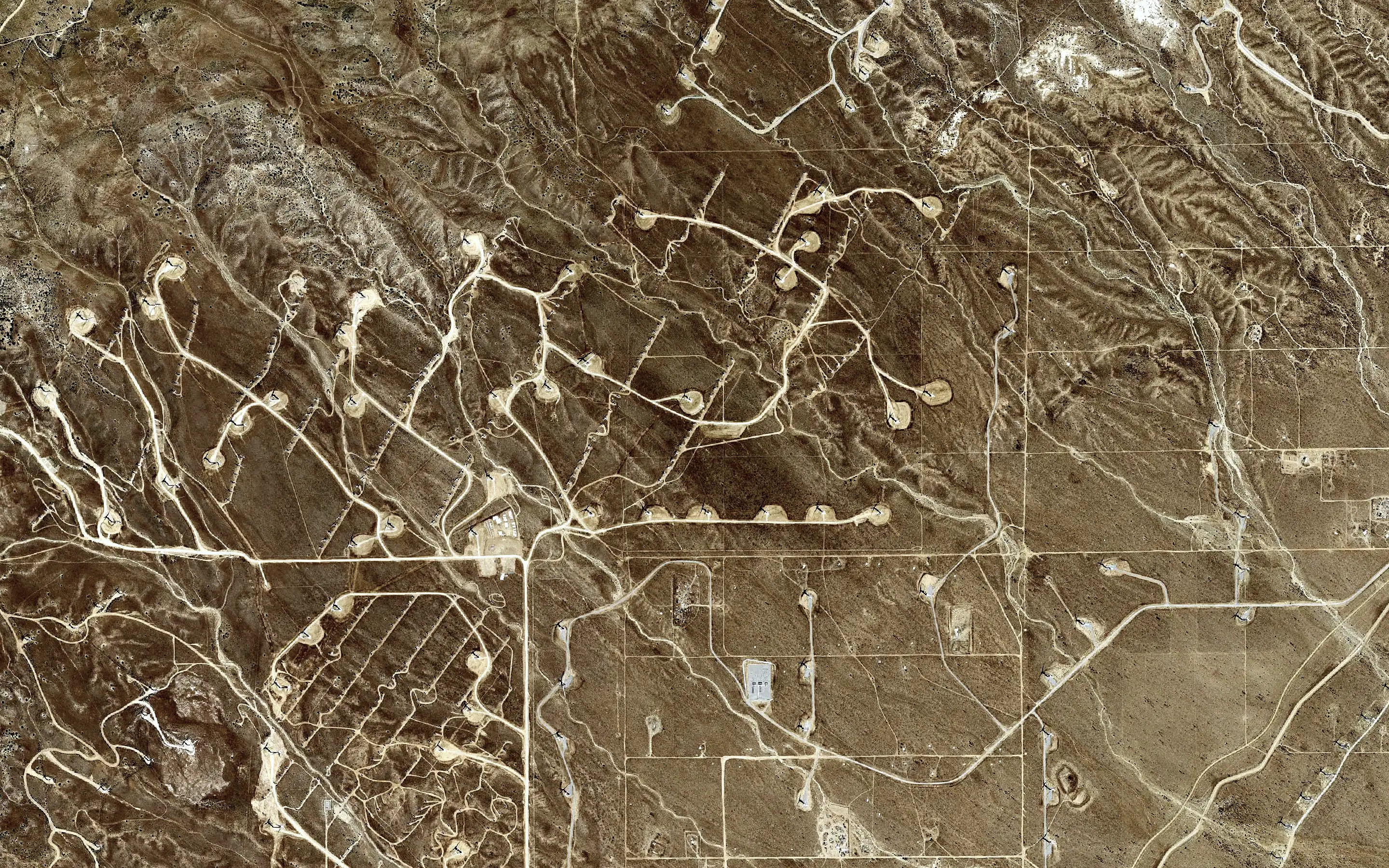 Wind turbine pads and access roads, Kern County, CaliforniaNAIP orthoimagery, zoom 16
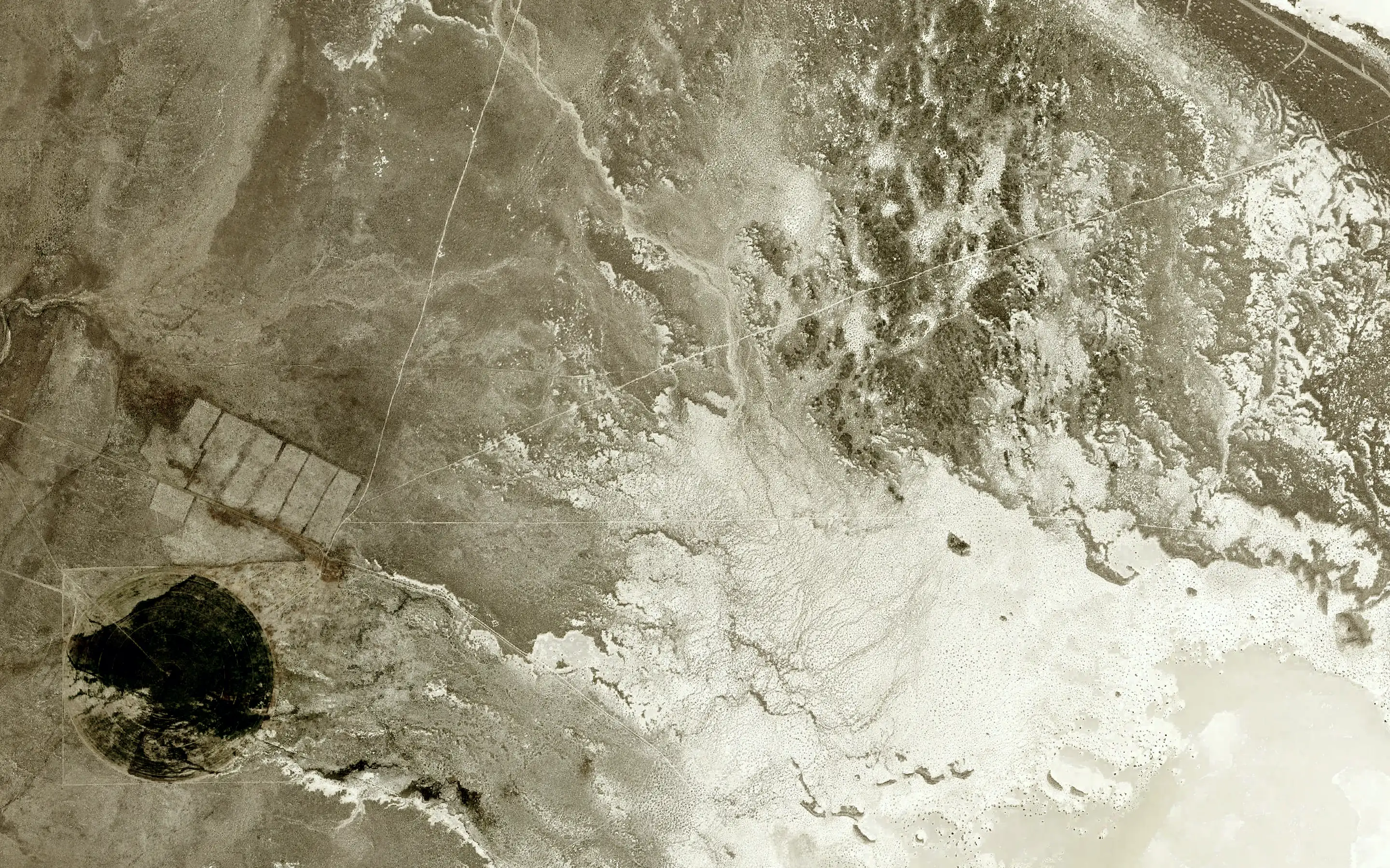 Playa edge and basin floor, Lander County, NevadaNAIP orthoimagery, zoom 16
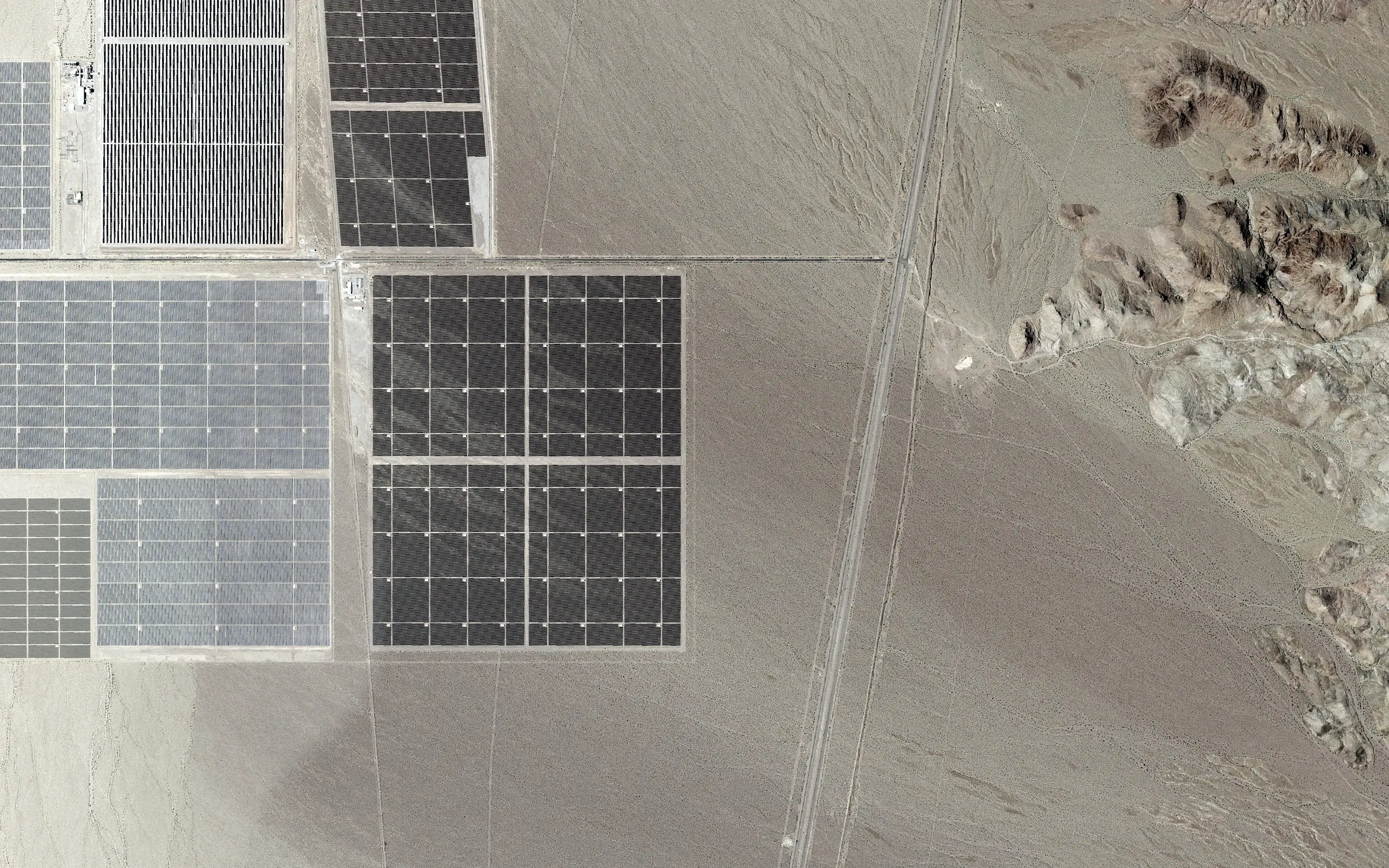 Solar arrays and a transmission corridor, Eldorado Valley, NevadaNAIP orthoimagery, zoom 16